Understanding the terrain and environment is critical to the success of any project. At Everest, we specialise in delivering precise topographical surveys that provide detailed contours, features, and 3D land models for architects, engineers, and designers to work from. Whether you need a topographical survey for subdivision design, house renovations, or stormwater analysis, we ensure every aspect of your project is accurately mapped and measured.
Addressing Common Challenges in Land Development
Topographical surveys are often the first step in projects such as:
- Subdivision design
- House renovations and extensions
- Stormwater and flood analysis
- Road design
- Landscape design
- Infrastructure design and assessment
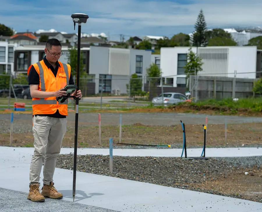
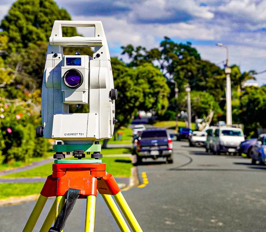
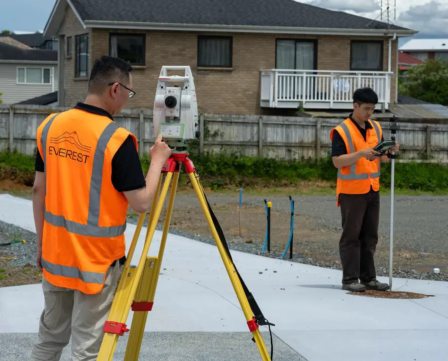
We use a range of technologies to digitally measure spatial features including roads, fences, buildings, utilities, trees, vegetation, and concrete areas. By understanding the needs of our clients, architects, and other stakeholders, we ensure the delivery of accurate, reliable data in the required format, aligning seamlessly with project objectives..

The Everest Difference – Delivering Precise Topographical Survey Results
Seeing the Big Picture
Our land surveyors take a detailed approach to understanding your project’s unique requirements. With a deep understanding of regulatory frameworks and the full project lifecycle, we provide accurate, tailored topographical surveys that align with your goals.
Outside-the-Square Thinking
At Everest, we look beyond standard surveying methods. By leveraging advanced tools like CAD and GIS, we identify opportunities and deliver results that meet your project’s exact specifications, helping you move forward confidently.
Leveraging Collaboration
We work alongside architects, engineers, and councils to ensure seamless service. Our team provides a single point of contact to streamline communication and keep your project on track.
Transparent Communication
We simplify complex surveying data, providing clear, easy-to-understand results in .dwg or .pdf formats, so you’re always informed and supported throughout the process.
Learn more about our approach and expertise here.


Frequently Asked Questions
"*" indicates required fields
