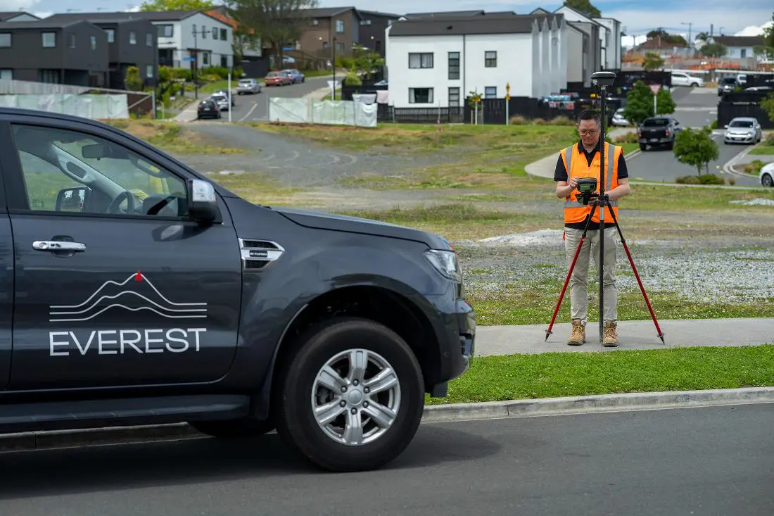
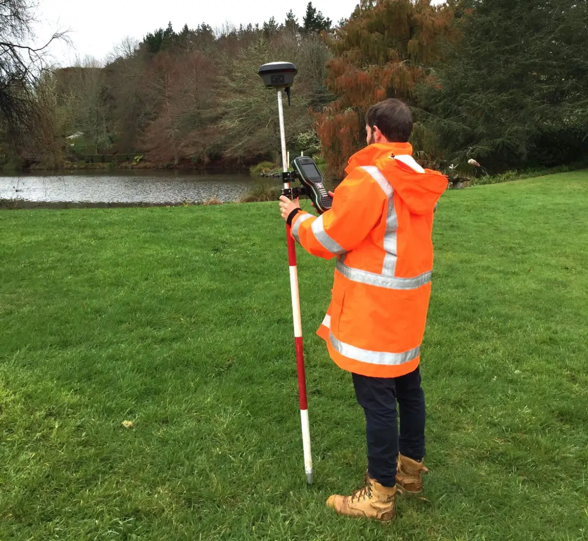
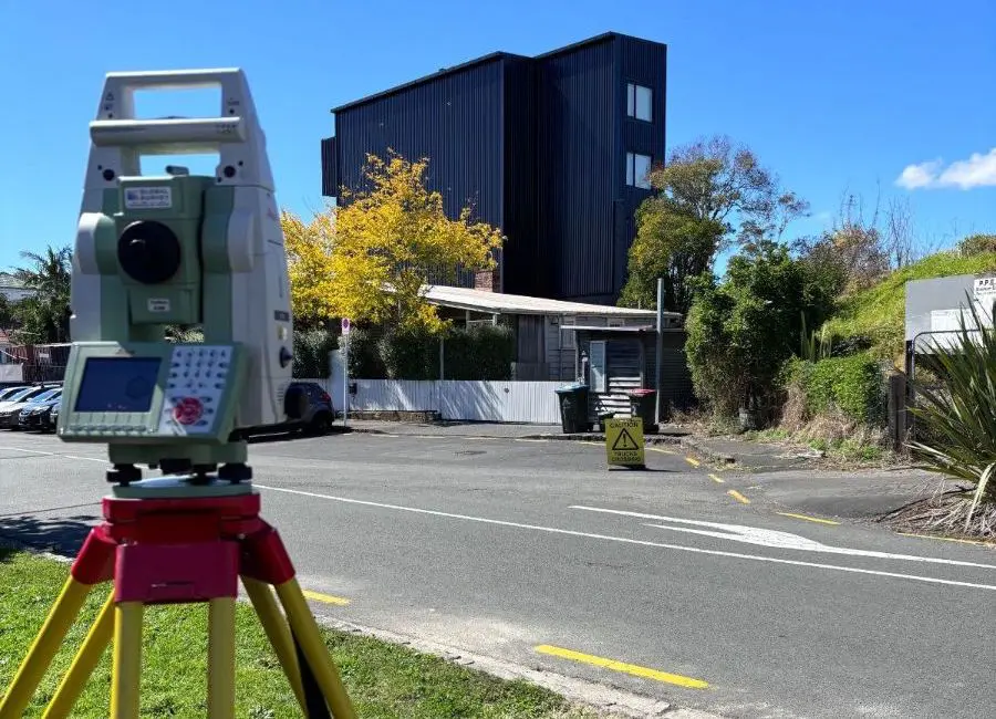
At Everest, we combine professional expertise with advanced technology to deliver precision surveying services. Using Leica GNSS and Total Station, 12d Model Software, aerial drones, 3D laser scanners, and GIS mapping, we ensure accurate determination of boundaries, structures, and land characteristics.
As a trusted name among surveying companies in Auckland, our expertise spans land surveying, site surveying, and engineering surveying. As a team of experienced land and construction surveyors, we are dedicated to delivering high-quality, reliable, and precision surveying services to you.
Addressing Common Land Development Challenges
Navigating land boundaries, ensuring compliance with local regulations, and achieving precise site measurements can be daunting. That’s why you need experienced surveyors to streamline the process. Our registered and licensed surveyors leverage close working relationships with councils and other organisations to stay up-to-date with best practices and procedures. By carefully managing resources and priorities, we consistently meet project deadlines while delivering reliable results to ensure your project’s success.

The Everest Difference – Delivering Exceptional Project Outcomes
Seeing the Big Picture
At Everest, we take the time to fully understand your project goals and the complexities of the regulatory framework, ensuring every survey is aligned with your vision. We go beyond the basics to provide the precise data you need.
Outside-the-Square Thinking
Our team doesn’t just follow industry standards; we think creatively to identify opportunities and deliver results that others might overlook, adding value at every stage of your project.
Leveraging Collaboration
We work closely with councils and professionals, providing you with a single point of contact to streamline the process and ensure smooth project progression from start to finish.
Transparent Communication
We make complex language easy to understand, offering clear, approachable support and ensuring you’re always in the loop.
Learn more about our journey and values here.


Frequently Asked Questions
Our Services
Topographical Survey / Site Survey
Understanding the terrain and environment is critical to any project, so our topographical surveys are usually the first step in a project – this provides contours, features and a 3D land model for architects, engineers, and other designers to work from.
Boundary Survey / Boundary Marking
If you need to know where to build your fence or house extension or you wish to resolve a dispute with neighbours, we can help you with a boundary redefinition survey.
Asbuilt Surveys
If you need as-built plans/drawings for your construction or infrastructure project to support compliance sign-off, we can help you.
Height in Relation to Boundary / HIRB
We can check your building height is within council planning limits at the framing stage during construction to allow you to continue with construction, or alert you to any infringements to avoid costly rectification or re-work down the track.
Setout & Siting Certifications
It’s crucial when you build something, to make sure it’s in the right place and at the right height.
Send us your building plans and we can provide a robust survey strategy to meet your needs and manage your risks.
Land Transfer Survey / Cadastral Survey
If you’re looking to buy, sell, or subdivide your land, as licensed cadastral surveyors – we can help you with a land transfer survey.
Unit Title
Unit Title is a multiple ownership structure common for apartments, commercial property and mixed-use development.
Aerial Surveying and Drone Mapping
At Everest, we love technology and doing things smarter and employing drone technology for survey capture is one part of this. Aerial surveying methods can provide accurate and detailed data collection, save time and improve safety. Due to our complementary expertise in other more traditional survey methods, we can assist in determined the best method of survey and often this will include Aerial methods.
Removal of Limitations Survey
Not all titles are the same and a limited title means that the area and dimensions of your title are not guaranteed. These are common in old areas of town and country where limited recent survey has been undertaken. We can guide you through the process, provide advice and also undertake a removal of limitations survey for you.
"*" indicates required fields
