Modern Mapping Methods for Efficiency
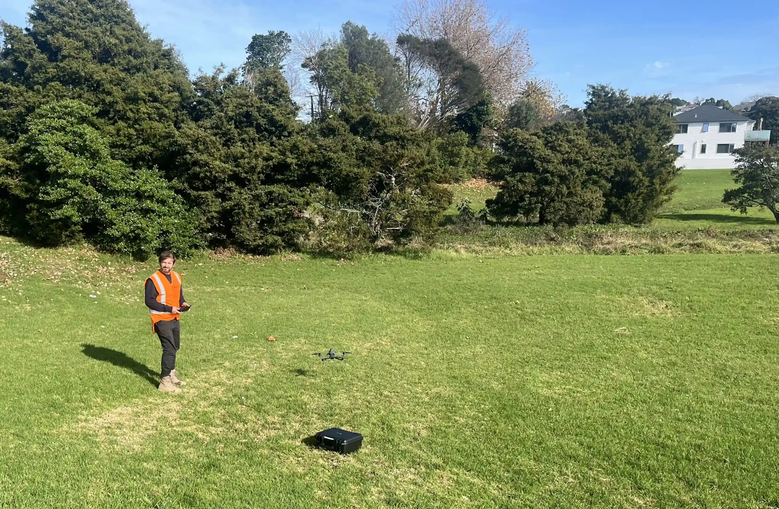
At Everest, we bring practical thinking to aerial surveying, combining drone mapping with traditional surveying methods to support efficient, accurate data capture across a wide range of sites.
Drone mapping and surveying give us the ability to cover large and often challenging areas quickly and safely. Our approach balances modern tools like photogrammetry and LiDAR with years of ground-based survey experience, helping identify the best method for each project.
These methods are ideal for large-scale topographical surveys and terrain mapping, slip surveys, construction progress, earthworks planning and monitoring, volume calculations, and natural environment assessments. Because we’re involved in both field capture and data interpretation, our clients gain access to clear, useful outputs and not just raw data.
We Can Help With:
Topographical and Infrastructure Surveys
Drone surveying is an effective option for open terrain and civil works. We map road corridors, developments, pipelines, and more, delivering data that’s ready to use in design and planning workflows.
Volume Calculations and Earthworks
Quarry, landfill, and construction clients benefit from fast turnaround volumetric calculations. Drone mapping allows us to cover large sites regularly, reducing disruption while improving accuracy.
The Everest Difference: Clear Thinking, Reliable Delivery
Integrated vision
Connecting client needs with legal and logistical realities
Fresh thinking
Offering paths forward that others might overlook
Connected delivery
One team managing approvals, advice, and progress
Honest, clear tal
Removing confusion and staying available when it matters

Frequently Asked Questions
Get practical advice on your project – Talk to Everest
Greenlane
Papakura
"*" indicates required fields
